Panorama of snow-capped mountains at dusk, with a hill lit by the last rays of light in the foreground

The group

Shaping mountain regions since 1984

DD

DNA

Abest is four decades of expertise serving mountain regions. A community of dedicated people, organised into four complementary entities, that designs, builds and provides support, from the strategic study through to the last stone laid.

A community working to enhance mountain regions and their resources

Snow-capped high-mountain summit with a rocky ridge and glacier, under a cloudy sky
BB

By the numbers

Sites studied

400+

Employees

50+

Group entities

4

International projects

30+

OO

Our story

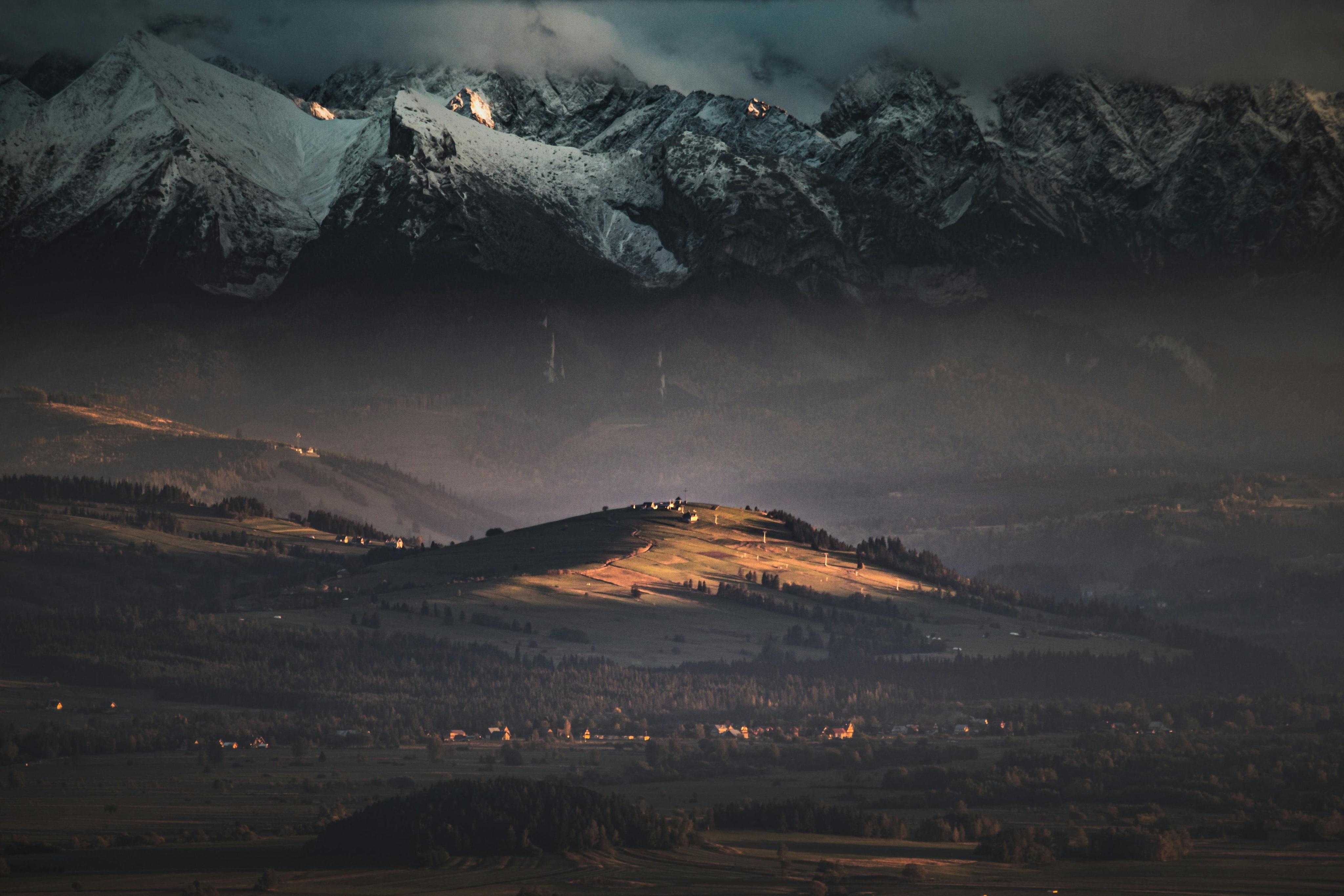
From a Savoie engineering consultancy to a multi-entity group spanning three mountain ranges, the story of Abest is one of an ambition that has never been content with the present.

Forty years shaping the mountains of tomorrow

Logos of ABEST Ingénierie and Dianeige Mountain Design
Logo of the ABEST Géo-détection brand
Kaliblue logo, partner
Logo of the CLIMSNOW solution for forecasting snow cover at ski resorts
DIA 4S logo, partner in tourism engineering
Logo of the ABEST HORIZONS brand on a turquoise background
Logo of the ABEST Pyrénées brand
Logos of ABEST Ingénierie and Dianeige Mountain Design

1984 and 1989 — The foundations

Founding of ABEST Ingénierie in Ugine, Savoie, in 1984 and of Dianeige in 1989 in Meylan, Isère.

Logo of the ABEST Géo-détection brand

2012 — On-the-ground expertise

Birth of Abest Géo-Détection. Land surveying and utility detection enter the group's DNA.

Kaliblue logo, partner

2000 — The field through data and imagery

Creation of Kaliblue, a pioneer in 3D mapping and resort modelling.

Logo of the CLIMSNOW solution for forecasting snow cover at ski resorts

2015 — A new way to forecast snow cover

The consortium of Météo France, INRAE and Dianeige publishes the first ClimSnow study for the La Clusaz resort.

DIA 4S logo, partner in tourism engineering

2022 — From the study of a project through to its visualisation

Dianeige becomes Dia4S by bringing the capabilities of its mapping-focused subsidiary Kaliblue into its team.

Logo of the ABEST HORIZONS brand on a turquoise background

2024 — A new community serving mountain regions

Following its acquisition by the Abest group, the Isère-based company DIA4S joins Abest Ingénierie and Abest Géo-Détection and becomes Abest Horizons.

Logo of the ABEST Pyrénées brand

2025 — Heading for the Pyrenees

Opening of Abest Pyrénées in Juillan. The group establishes its expertise in a third mountain range.

TT

The entities

One group, four areas of expertise. From Savoie to the Pyrenees, each entity carries a strong identity in service of a shared purpose: revealing the potential of every region.

Abest Ingénierie

Mountain and urban developments and infrastructure, hydrological and regulatory assessments. OPQIBI – ISO 9001 – ISO 14001

Abest Géo-Détection

Surveying, as-built surveys, utility detection and marking, drone, GIS MASE – ISO 9001 – ISO 14001

Abest Horizons

Mountain and urban developments and infrastructure, climate, snow expertise, mapping, 3D images and videos, operational audits and training.

Abest Pyrénées

All of Abest's expertise brought together in the Pyrenees.

AA

Areas of expertise

ABEST, an engineering consultancy specialising in mountain regions, supports stakeholders at every stage of their projects.

Six disciplines dedicated to the development of your region

Aerial view of a red snow groomer at work on a snow-covered expanse bordered by a forest

Areas of expertise

Every region is unique. That is why we deploy targeted expertise across six major challenges: leisure, snow, civil engineering, environment, climate and mapping, supporting mountain stakeholders in projects that are at once sustainable, innovative and tailored to their realities.

LeisureLeisure

Leisure

Enhancing regions

SnowSnow

Snow

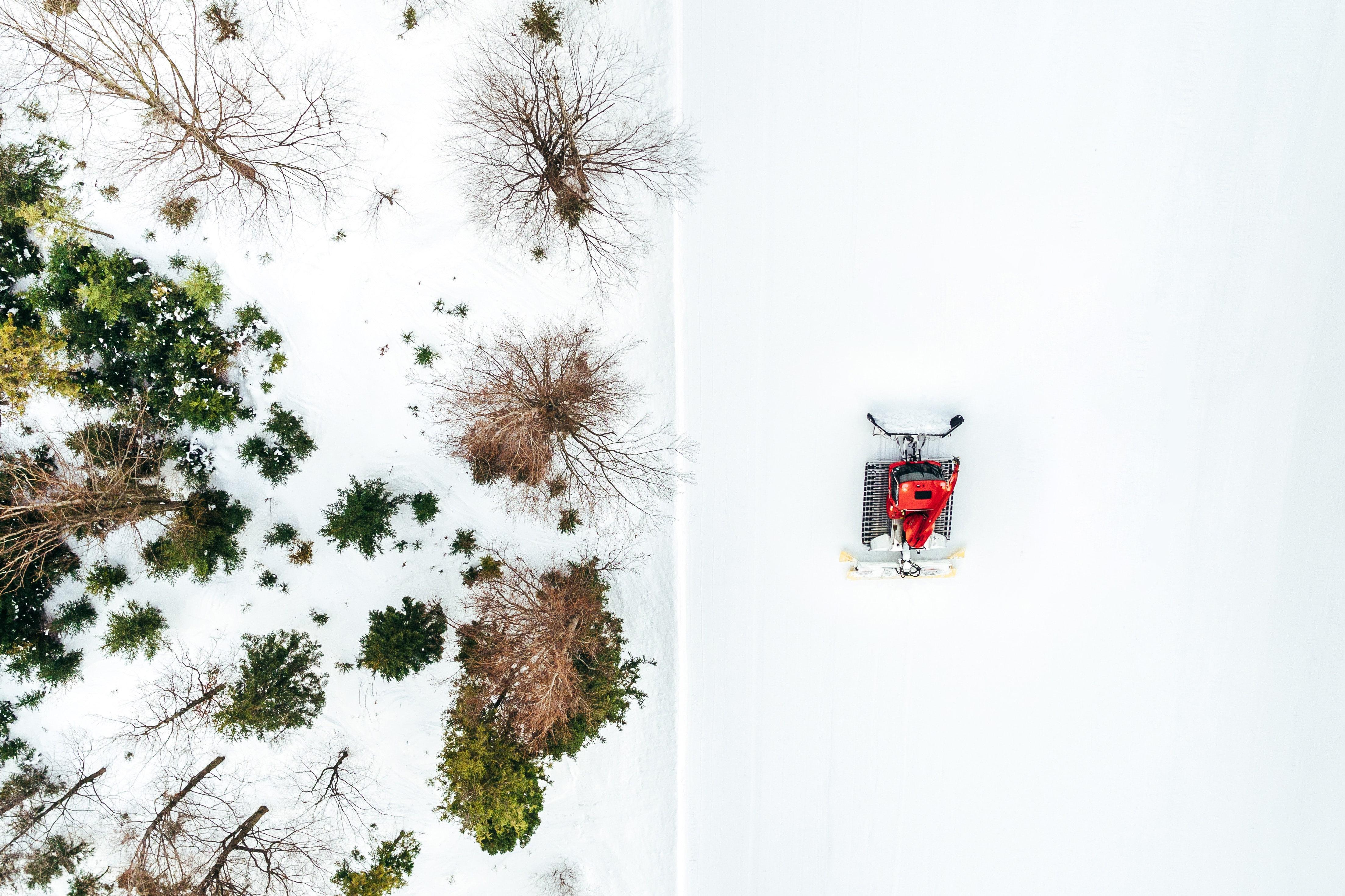
Optimising snow while preserving it

Civil engineeringCivil engineering

Civil engineering

Structuring and developing spaces

EnvironmentEnvironment

Environment

Preserving natural environments

ClimateClimate

Climate

Adapting to climate change

MappingMapping

Mapping

Visualising the region

Examples of applications

11

Enhancing regions and their assets

22

Strategic studies

33

Master plans

44

Activity diversification

55

Visitor-flow and customer-journey management

11

Ski areas

22

Sports stadiums

33

Olympic and international winter-sports venues

44

Operations auditing and training

55

Grooming and snowmaking

66

Integrated mountain reservoir

11

Roads and utilities – Site servicing

22

Residential and business-zone developments

33

Waste treatment and storage unit

44

Civil engineering structures

11

Environmental and regulatory assessment

22

Mountain-torrent hazard assessment

33

Hydrological management – Hydraulic engineering expertise

44

Regulatory consent applications

55

Mapping of environments and associated issues

11

Supporting regions in adapting to climate change

22

Snow-cover projections

33

Snow-cover management and optimisation

44

Projected changes in water resources – Assessment of uses

11

Data management, GIS, Surveying

22

Structural monitoring

33

Network georeferencing

44

Drone imagery and 3D scanning

55

Project integration and digital videos

VV

Vision

“Bringing out the best in oneself through one's profession. Helping to bring life to the region where one's family lives. Taking part in projects that enhance the mountains, playing an active role in the climate transition… Our people carry out the most rewarding of missions.“

— Damien Lafaverges, President

PP

Partners

Strong scientific and institutional partnerships.